Using Watchtowers as Geological Survey Hubs
Work recorded: August 3, 2026
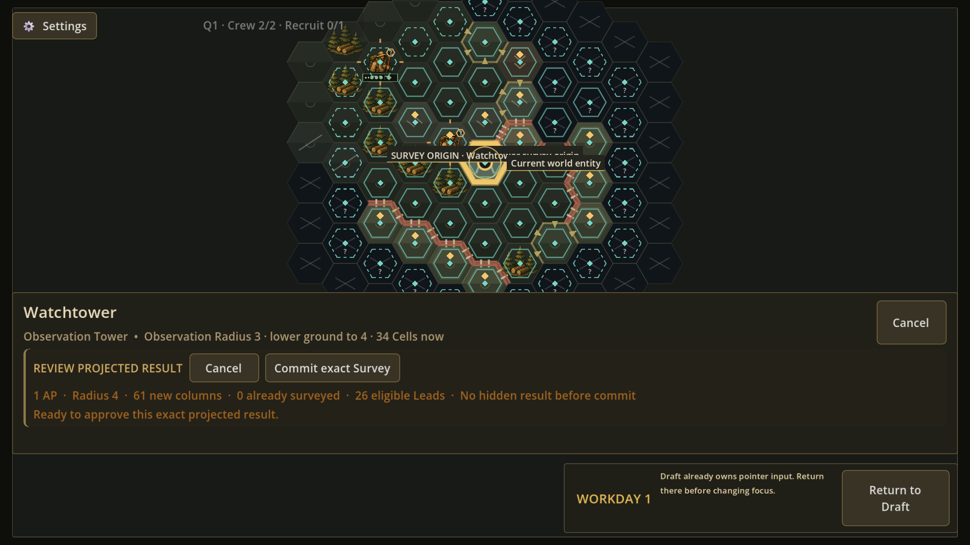
What the survey is for
Every map cell in Frontier Logistics has surface information and a separate geological column: a finite sequence of layers such as soil, rock, and iron that ends in bedrock. Quarry and mine planning depends on knowing which layers remain, while surface terrain and facilities are a different body of knowledge.
Preview, then commit
A Crew—the unit the player equips and directs—can carry a Geological Survey Kit in both hands. An ordinary survey uses the Crew's current cell as its center and reaches a radius of 2.
If the Crew starts that action beside a Watchtower, the survey is centered on the tower and expands to radius 4, covering up to 61 cells. The player first reviews the exact footprint and cost, then commits the action; the Watchtower does not reveal underground resources passively.
What the result changes
After the survey, the player can inspect the order and remaining amount of each discovered layer and estimate how much longer a quarry or mine can work there. Question-marked surface cells stay unobserved: learning what lies below them does not reveal their terrain or facilities.
The survey is working in the current build; wording, visuals, geological distributions, and values remain in development.